Generating citywide street cross-sections using aerial LiDAR and detailed street plan
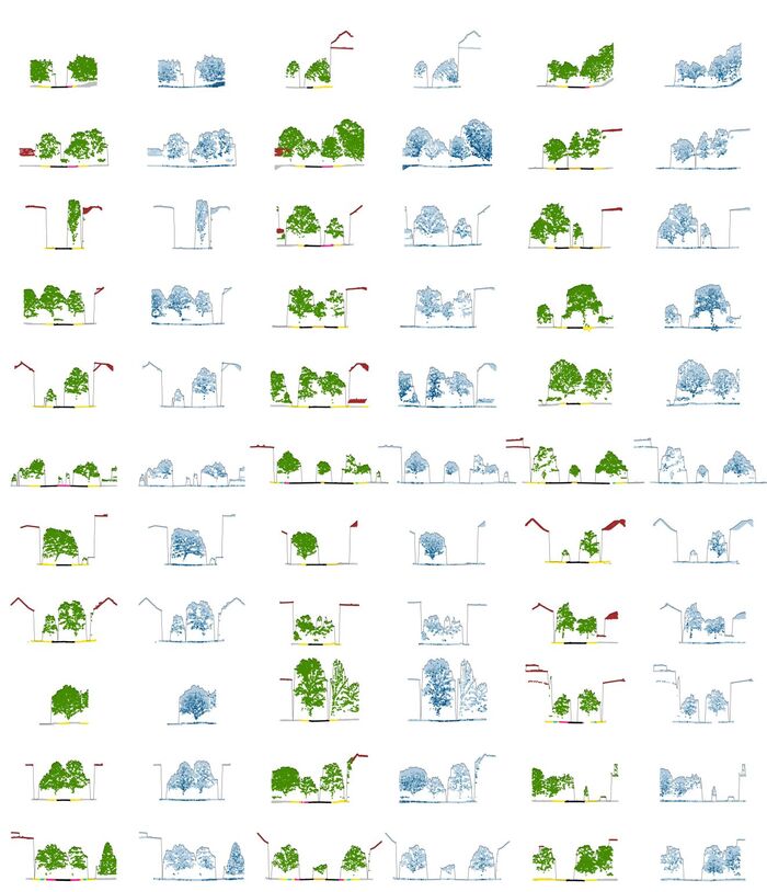
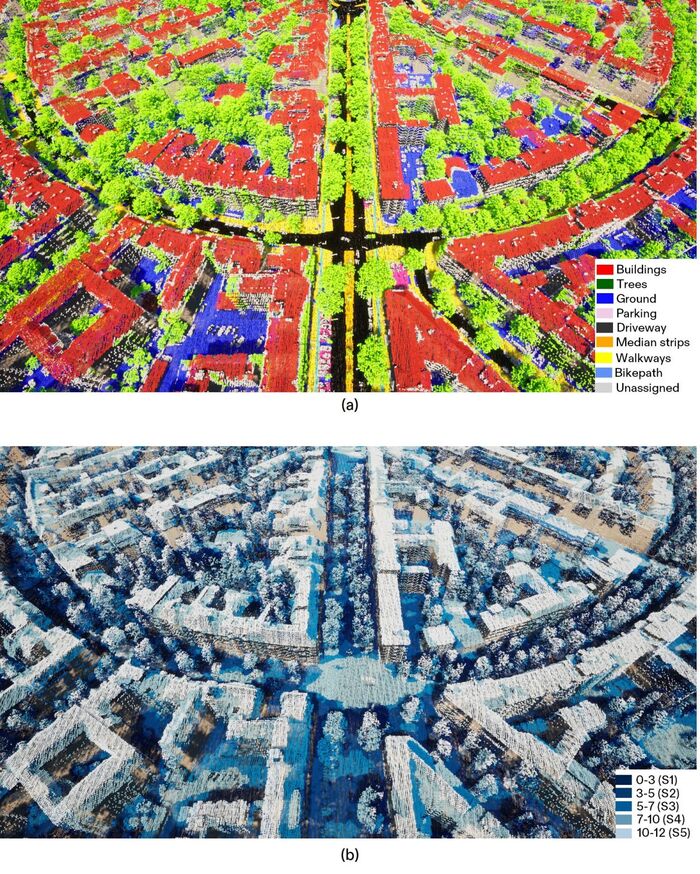
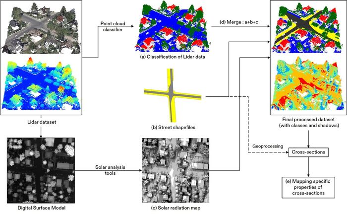
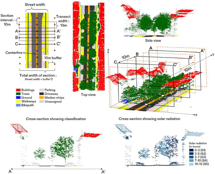
Cross-sections are regularly used for ideation and conceptualization in architecture and urban planning projects. However, they must be manually drawn with limited on-ground dimensions, which are difficult to extend to a city scale. We address this gap with the help of this research, where we utilize LiDAR data and street shapefiles to generate 0.5 Million cross-sections in Berlin. In addition, we also (a) compute shadow footprint and attach it with each cross-section, (b) identify generic street types in the city, and (c) calculate street enclosures.


